National Parks
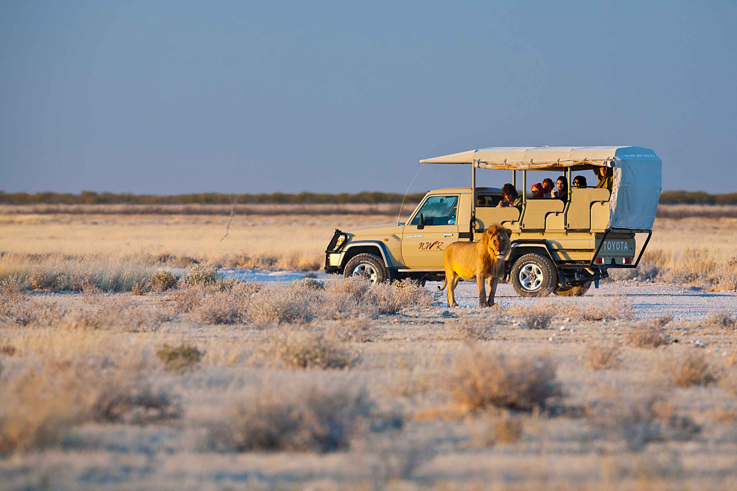
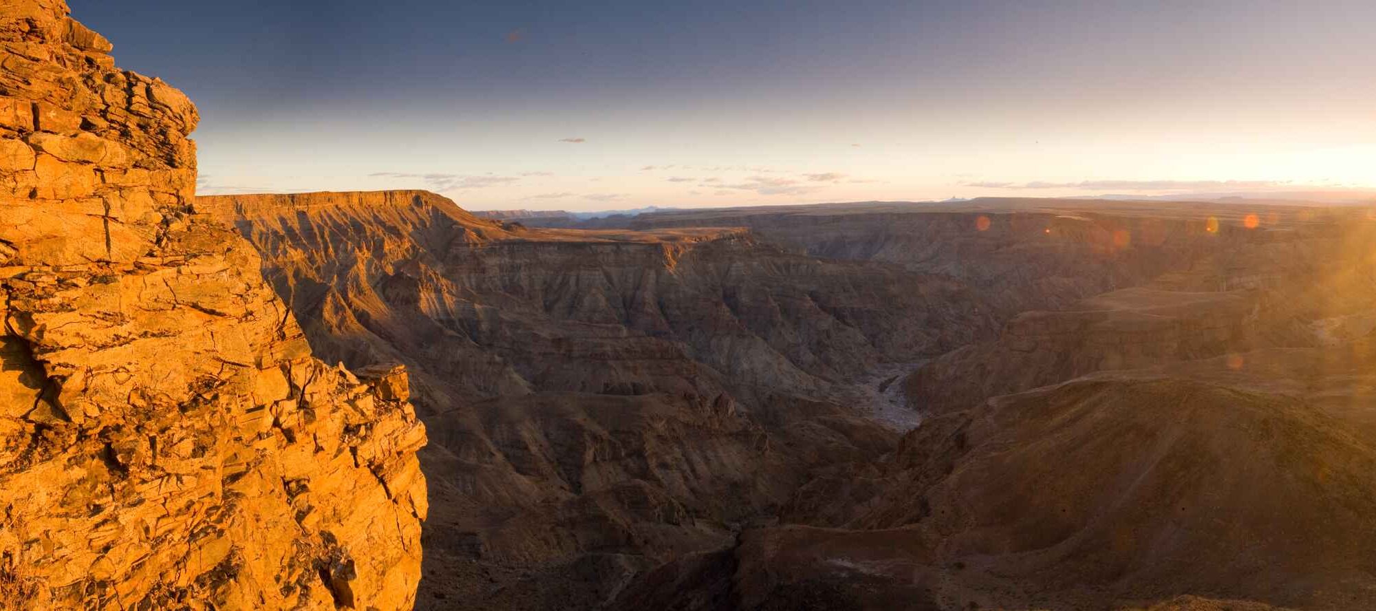
The Fish River Canyon is the largest canyon in the world, after the famous Grand Canyon. In places this canyon is 550 m deep and overall it is some 160 km long. It is one of the main tourist attractions in the south of the country. The /Ai-/Ais park now forms part of the /Ai-/Ais / Richtersveld Transfrontier Park, and visitors are able to cross from South Africa to Namibia using the Sendelingsdrift border post within the park.
Distances between towns and resorts in this area are long, and tourists should be well prepared to enjoy the scenery when travelling in this region.
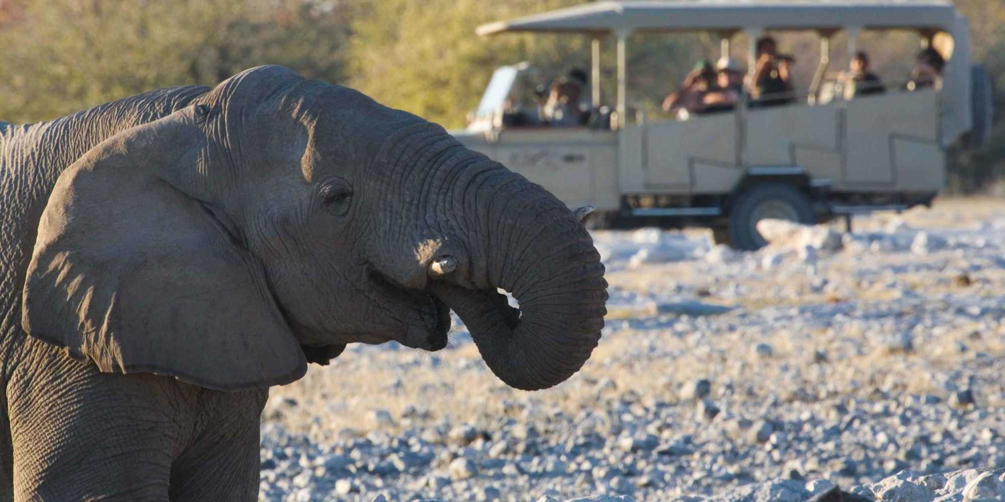
One of the largest savannah conservation areas in Africa, Etosha National Park is world-renowned for its spectacular wildlife: elephant, black and white rhinoceros, lions, leopards, cheetahs, large herds of springbok, zebra, wildebeest, giraffe and a multitude of other fascinating species, big and small, interacting in their natural environment.
The park has five resorts and one camp were night drives and guided day drives are offered exclusively.
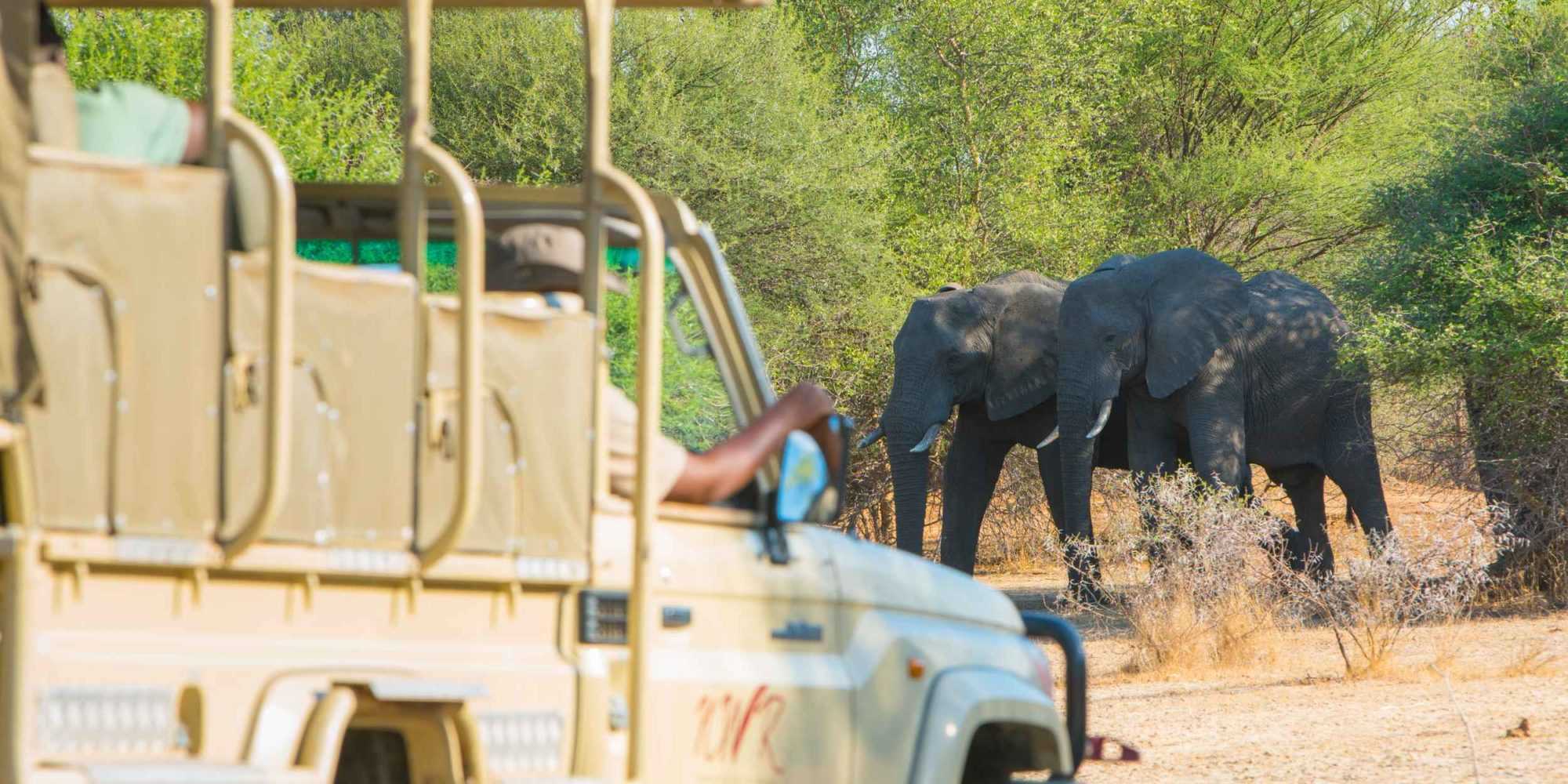
The Mahango Game Park is a protected area in Namibia within Bwabwata National Park. It is situated at Namibia’s eastern border with Botswana in the flood plains of the Okavango River basin, close to the Popa Falls on the river. The park was established in 1986 and covers an area of 24,462 hectares (60,450 acres). With over 300 species of birds, it has been designated an Important Bird Area by BirdLife International. About two thirds of the bird species found in Namibia are located here as it includes both wetland and tropical terrestrial species of birds.
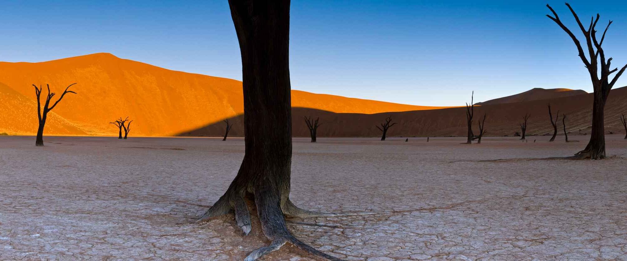
Sandwiched between two deserts – the Namib in the west and the Kalahari in the east – Namibia’s arid southern region offers breathtaking landscapes.
The Namib-Naukluft Park is Namibia’s most versatile conservation area and one of the country’s major tourist destinations. The vast wilderness of almost 50 000 square kilometres contains key features such as Sossusvlei, Sesriem, the Welwitschia Trail, Sandwich Harbour, the Naukluft Mountains and the Kuiseb Canyon. This vast tract of land, covering an area the size of Germany, consists of dunes (some of which at Sossusvlei are amongst the highest in the world), gravel plains and rugged mountainous areas.
It is one of the least populated areas in the country where the visitor can experience an intense feeling of vastness and isolation. Here the magical and awe-inspiring beauty of the night skies can be enjoyed like few places on earth.
Sossusvlei, with its monumental dunes, up to 325 m when measured from the base, is one of the top destinations in Namibia. The star-shaped dunes are a sought-after topic for artists and photographers. Formed by strong multi-directional winds, they are at their highest and most spectacular where the west-flowing Tsauchab River empties itself into the vlei. The warm tints of the sand, ranging from apricot to orange, red and maroon, contrast vividly with the dazzling white surfaces of the large deflationary clay pans at their bases. One of these, referred to as Dead Pan, is a large ghostly expanse of dried white clay, punctuated by skeletons of ancient camelthorn trees, carbon-dated as being between 500 and 600 years old. When it has rained sufficiently in the interior for the Tsauchab River to come down and fill the main pan, flamingoes and other aquatic birds are drawn to the area.
The Naukluft section completes the other half of the Namib – Naukluft National Park. Encompassing the Naukluft mountains and boasting massive and varied rock formations, Naukluft is a geologist’s paradise. The intermittent layers of horizontally folded igneous rock, quartzite, dolomite and shale are impressive with their giant symmetrical patterns. Five different vegetation communities within the park ensure a wealth of tree and shrub species, and a variety of aloes.
In addition to Hartmann’s mountain zebra, there are kudu, gemsbok, klipspringer, duiker, steenbok, leopard, baboon, black-backed jackal, bat-eared fox, African wild cat, caracal and aardwolf. Naukluft’s steep cliffs are nesting grounds for various cliff-breeding bird species, including black eagles.
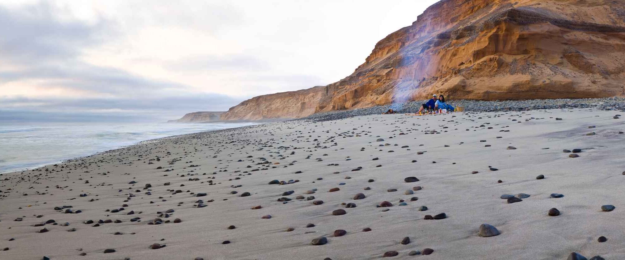
The Skeleton Coast National Park was proclaimed in its present form in 1973 and extends from the Ugab River in the south 500 km to the Kunene River in the north. The attraction of this remote area lies essentially in its colour, changing moods and untouched profile of its landscape. Its aura of mystery and impenetrability is due to the many shipwrecks, dense coastal fogs and cold sea breeze caused by the cold Benguela Current.
The landscape in the park ranges from sweeping vistas of windswept dunes to rugged canyons with walls of richly coloured volcanic rock and extensive mountain ranges. On their slopes grow a surprising variety of interesting xerophytic plants, whose survival is ensured by a wide spectrum of ingenious adaptations. A conspicuous example is the curious elephant’s foot, Adenia pechuelii, which anchors itself in rock crevices.
Over a hundred species of lichen grow on the plains and west-facing mountain slopes, which change colour and become soft and leathery to the touch when the coastal fog pushes inland.
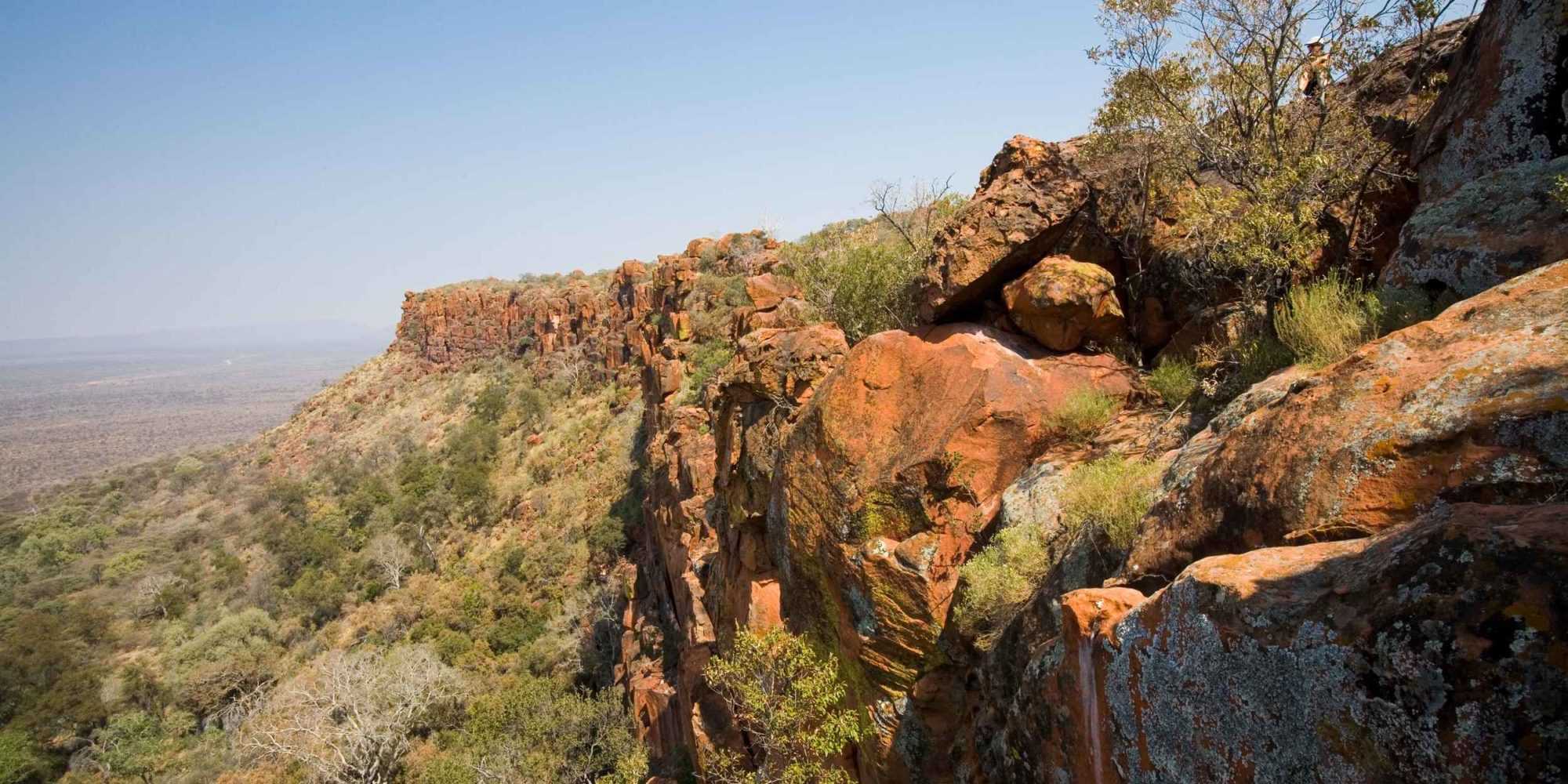
Waterberg Plateau Park is a national park in central Namibia encompassing the Waterberg Plateau, 68 km east of the town of Otjiwarongo. The Waterberg Plateau is a particularly prominent feature, elevated high above the plains of the Kalahari of eastern Namibia. The plateau and some 405 km² of surrounding land were declared a nature reserve in 1972. The plateau is largely inaccessible. In the early 1970s, several of Namibia’s endangered species were translocated there to protect them from predators and poaching to extinction. The programme was very successful, and Waterberg now supplies other Namibian parks with rare species. In 1989, black rhinos were reintroduced to the area from Damaraland, sparking a successful breeding programme of national and international significance for the species.
The Waterberg Plateau Park is ecologically diverse and rich and has over 200 different species of bird and some rare species of small antelope on the lower hills of the mountain.
Geologically, the oldest rock stratum is over 850 million years old, and dinosaur tracks were left there some 200 million years ago. The first human inhabitants were the San people; they left rock engravings believed to be several thousand years old. A small tribe of the San were still living their traditional lifestyle on the plateau until the late 1960s.
The site is also home to one of the major turning points in Namibia’s history. It was at Waterberg, in the foothills, that the Ovaherero people lost their last and greatest battle against German colonial forces at the beginning of the 20th century. They were forced to retreat from the Waterberg and headed eastward to British Bechuanaland (now Botswana). Thousands were killed by the pursuing Germans, and many lost their lives in the Kalahari Desert due to lack of food and water. Estimates are that nearly two-thirds of the Ovaherero population lost their lives during this period. The graves of German soldiers who lost their lives at Waterberg can still be viewed near the rest camp at the base of the park.


